Seneca County, New York Zip Codes
📍 Seneca County has 8 zip codes with a population of 30,627.
Seneca County is located in New York with a land area of 279 square miles. The county seat is Waterloo. Below you'll find all 8 zip codes in Seneca County with population, income and home value, the county's affordability profile, and links to its 8 city pages.
Population and demographic data sourced from the U.S. Census Bureau American Community Survey (ACS) 5-Year Estimates. ZIP code routing data sourced from the United States Postal Service (USPS).
All Seneca County Zip Codes
| ZIP Code | City | Details |
|---|---|---|
| 13065 | Fayette | View → |
| 13148 | Seneca Falls | View → |
| 13165 | Waterloo | View → |
| 14521 | Ovid | View → |
| 14541 | Romulus | View → |
| 14588 | Willard | View → |
| 14847 | Interlaken | View → |
| 14860 | Lodi | View → |
Seneca County at a Glance
Seneca County has 8 ZIP codes in this directory: 8 standard delivery ZIPs. The 6 ZIPs with published Census housing data cover 30,627 residents, the largest being 13148 (Seneca Falls) with 10,798 people.
The median ZIP in Seneca County has a household income of $68,448 and a home value of $151,600, a price-to-income ratio of 2.4, below the 2.9 New York ZIP median. Affordability ranges from 13165 in Waterloo at a ratio of 1.9 to 14541 in Romulus, where the median home is $223,700. The highest median income is in 14541 (Romulus) at $78,125. Median rent across these ZIPs is $918 a month.
68% of households in the typical Seneca County ZIP own their home (statewide ZIP median 80%). 23% of adults hold a bachelor's degree, below the 31% statewide median. The median poverty rate is 14.1%, above the 9.9% statewide ZIP median. Overall density is about 110 residents per square mile across 279 square miles of ZIP land area.
Medians are taken across the ZIP codes listed below (each ZIP weighted equally); PO Box and no-data ZIPs are excluded. Definitions on the methodology page; statewide comparisons in the 2026 New York ZIP Code Affordability Report.
Seneca County Zip Code Map
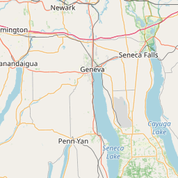
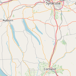


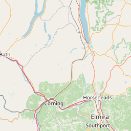
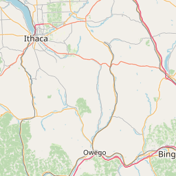
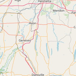
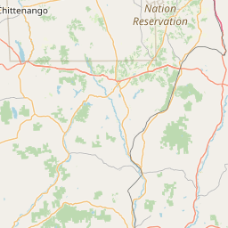
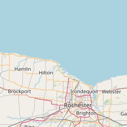

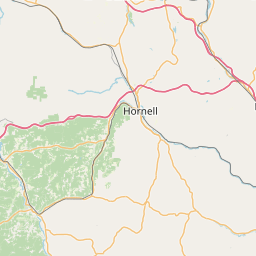

Interactive map of Seneca County, New York zip codes.